
Professionals looking for the best ground-penetrating radar solutions in 2026 should choose systems that deliver clear images. They should also look for deep penetration, real-time data processing, and strong designs that are ready for the field. The leading platforms deliver strong performance for underground utility detection, safer excavation, and dependable mapping.
Some of the best systems include the US Radar Quantum Imager 900 MHz and the ImpulseRadar Raptor System. These systems show the latest advances in radar technology in 2026. They provide unmatched reliability for organizations that require accuracy, compliance, and high-value results.
Outdated locating tools often fall short in crowded or aging infrastructure zones, making modern imaging technology far more dependable. New developments in radar technology in 2026 offer faster processing, cleaner imaging, and easier reporting. This gives teams the confidence needed to evaluate complex subsurface areas.
Professionals also recognize how advanced GPR helps support compliance and reduce unnecessary excavation risks. Many organizations are now moving to modern utility mapping solutions. This helps improve accuracy and upgrade old equipment that can’t meet today’s standards.
What Makes Ground Penetrating Radar Essential in 2026?
Ground penetrating radar is very important in 2026. Utility networks are becoming more complex and crowded in cities, industries, and science. Modern facilities depend on accurate subsurface data to:
- Prevent equipment damage
- Maintain compliance
- Support safe project planning
Advanced systems now deliver:
- Sharper imaging
- Faster data processing
- Improved depth resolution
This gives professionals a clearer understanding of:
- Buried utilities
- Soil changes
- Hidden structural features
Many teams also rely on GPR to:
- Reduce excavation risks
- Verify undocumented lines
- Support maintenance activities that require non-destructive testing
Regulatory expectations continue to rise, making precise subsurface imaging essential for safety auditing, quality control, and facility management. GPR is a key technology for today’s utility and infrastructure needs. It offers precision, versatility, and safety. This is especially important in places where accuracy affects operations and compliance.
How Is GPR Evolving as Utility Infrastructure Becomes More Complex?
Ground-penetrating radar has advanced rapidly to meet the challenges posed by deeper, denser, and more unpredictable utility networks. Modern systems use multi-frequency antennas and better digital filters. They also use AI to help find utilities hidden under soil, pavement, and old infrastructure.
New radar platforms now process larger datasets in real time. This helps technicians interpret findings faster and with greater confidence.
Many systems use GPS, GIS mapping tools, and cloud connections. This helps with accurate location tracking and easy reporting in large industrial or urban areas.
As underground networks grow, GPR is improving. It now offers clearer images, better depth, and more reliable performance. This is true even in areas that were once too complex for accurate subsurface imaging.
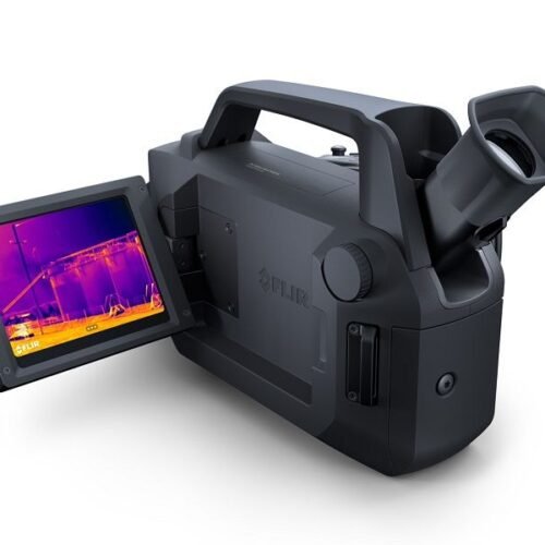
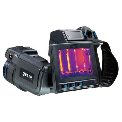
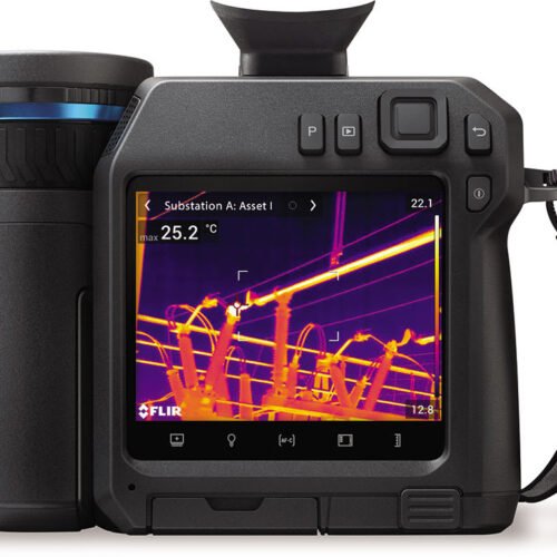
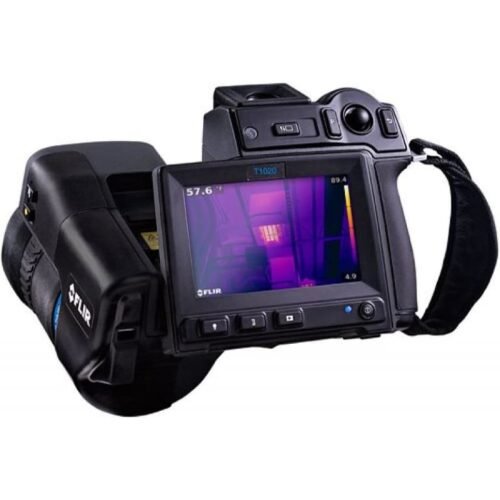
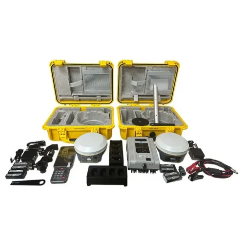
Leading GPR Systems Setting the Standard in 2026
Professionals now benefit from cutting-edge platforms designed to meet the demands of modern underground utility work. These systems combine precision engineering with advanced software to support confident analysis in any environment. The following top five systems represent the strongest performers for 2025.
1. GSSI Flex NX Concrete Scanner

The GSSI Flex NX is a high-performance GPR system designed to deliver advanced imaging for shallow-depth targets. It’s particularly effective when scanning concrete structures, pavement layers, or other urban surfaces where detail and clarity matter.
The system is built for professional users who need precision while working near the surface, and it delivers real-time radar data with high visibility.
Its rugged frame is built for regular site use, and the imaging quality holds up even in dense or reinforced concrete. That said, the Flex NX is not built for deep subsurface scanning and is better suited to shallow utilities or surface-level features. It’s an excellent match for structural inspectors, concrete scanning specialists, and utility locators working in built-up areas or confined conditions.
2. GSSI StructureScan Mini XT

The StructureScan Mini XT is a compact, handheld unit designed for mobility and ease of use. It’s well known among field teams for being light, quick to deploy, and easy to interpret. Operators can scan, analyze, and document shallow targets such as rebar, conduits, and embedded services directly on the built-in touchscreen.
This system tends to be a favorite for small contractors and field technicians who need fast, surface-level scans without the bulk of a cart-mounted system.
While it offers excellent resolution for scanning close to the surface, the Mini XT isn’t meant for deeper underground detection. It’s ideal for slab-on-grade buildings, structural reviews, or utility tracing inside buildings. Maintenance crews, building inspectors, and concrete specialists often carry this unit in their daily toolkit.
3. Proceq GP8000 Portable Ground Penetrating Radar

The Proceq GP8000 offers a modern, mobile approach to utility locating. It connects wirelessly to tablets and smartphones, allowing users to view scans in real time, sync data to the cloud, and share reports on the fly. It’s one of the most accessible options for field teams that need to collect data quickly without sacrificing portability or convenience.
The GP8000 is best used in urban settings or small job sites where depth requirements are modest. Its compact design makes it practical for tight spaces and short-notice jobs. However, it has limitations when locating deeper utilities.
For contractors, civil engineers, or project managers who want fast, real-time insights in a portable format, this model is a very solid choice.
4. MALA Easy Locator Pro HDR

The MALA Easy Locator Pro HDR is one of the most widely adopted systems worldwide for underground mapping services. Known for its high dynamic range (HDR) signal processing and strong performance in soil and asphalt, it’s engineered for professional-grade results in difficult field conditions. The Easy Locator Pro is a reliable choice for users who need deeper detection without sacrificing usability.
Its software interface is intuitive, and the data output is easy to interpret, even for teams with limited GPR experience. It tends to be slightly heavier than some competitors, but that’s balanced by its robust frame and field-tested durability.
For surveyors, utility contractors, and municipal crews that require a dependable system for scanning road corridors, sidewalks, or unmarked services, this model remains a top performer.
5. Proceq GP8800 Ground Penetrating Radar

The Proceq GP8800 is a high-frequency GPR system built with advanced 3D imaging capabilities. It uses an ultra-wideband antenna to capture detailed reflections, making it ideal for mapping complex subsurface features in layered urban environments.
Teams working on infrastructure planning, GIS data collection, or city utility mapping often turn to this unit for its ability to display both shallow and mid-depth targets in rich visual detail.
What sets the GP8800 apart is its 3D visualization, which can be used for advanced documentation or integration into CAD/GIS platforms. Operators may need a bit more training to use the software to its full potential, but the learning curve is worth it for teams looking to get a more complete view of what lies underground.
This unit is best suited for infrastructure-focused crews, GIS technicians, or public works departments.
Frequently Asked Questions
What Types of Utilities Can Ground Penetrating Radar Detect Most Reliably?
Ground-penetrating radar can detect many types of underground utilities. This includes metal pipes, plastic tubes, fiber-optic lines, clay pipes, old lines, and empty spaces. High-frequency antennas offer clarity for shallow services. Lower-frequency units reach deeper infrastructures.
Modern innovations in radar technology in 2025 improve signal processing, producing cleaner scans in areas with:
- Congestion
- Mixed soil types
- Electromagnetic interference
GPR excels in detecting utilities where traditional electromagnetic locators fail. Plastic pipes, which lack conductive material, stand out clearly due to dielectric contrast.
Multi-layer urban environments benefit from high-resolution processing that differentiates between stacked infrastructure. Professionals also use GPR to find undocumented or mislabeled lines, which is vital during redevelopment projects or forensic assessments.
Professionals in the pharmaceutical, chemical, and industrial sectors value this capability due to strict compliance and safety requirements. Safe digging is important in areas where chemical pipelines or sensitive lines might be under walkways or loading zones.
How Deep Can GPR Penetrate When Mapping Utilities?
Penetration depth depends on soil conditions, antenna frequency, and moisture levels. High-frequency radar achieves sharper images at shallow depths. Lower frequencies can reach deeper layers, sometimes exceeding several meters, depending on conductivity.
Dry sandy soils allow the deepest penetration due to low conductivity. Wet clay reduces penetration because water content increases signal attenuation. The latest utility mapping solutions include adaptive frequency controls that automatically optimize performance.
Large engineering teams use more advanced methods to identify old utilities, vacant spaces, and abandoned lines. These can impact foundation planning. Industrial sites rely on deeper mapping to prevent accidental interference with buried chemical or process lines.
What Makes a GPR System Suitable for Industrial or Laboratory Environments?
Industrial and laboratory environments demand precise calibration, stable imaging, and instruments capable of operating around sensitive process equipment. The best radar systems offer shielding that reduces interference and enhances accuracy.
Laboratory professionals value systems that export high-quality data for audit trails and compliance reports. Industrial engineers rely on ruggedized designs that withstand:
- Temperature shifts
- Vibration
- Exposure to chemical handling zones
Many platforms support standardized output formats required for regulatory documentation. For manufacturing sites, GPR supports:
- Structural assessment of floors
- Embedded wiring detection
- Safe planning for equipment installation
This versatility helps avoid disruptions and maintain safety compliance.
Are Modern GPR Platforms Ready for AI-Based Analysis and Automation?
Yes, radar technology in 2026 integrates AI-driven filtering, automated depth estimation, and advanced pattern recognition. High-end platforms identify likely utility signatures and support predictive modeling.
AI reduces interpretation time and strengthens accuracy for complex scans. Many systems now support cloud synchronization, allowing remote specialists to verify results. AI-enhanced dashboards guide technicians toward likely utility paths and reduce operator uncertainty.
This capability is valuable for forensic teams, customs officers, and quality-control managers who require trustworthy data for documentation. Organizations gain faster results without compromising precision.
How Does GPR Compare to Electromagnetic Locators?
GPR outperforms electromagnetic locators when identifying non-conductive utilities. EM locators require conductive material or tracer wires. Ground penetrating radar identifies objects by dielectric differences, making it superior for:
- Plastic pipes
- Insulated conduits
- Unknown voids
EM locators still serve as complementary tools. Many professionals use both technologies together for higher certainty. GPR provides a broader context, detecting:
- Buried debris
- Changes in soil structure
- Hidden obstacles that EM tools cannot measure
What Should Teams Consider Before Purchasing a GPR System?
Professionals should consider imaging depth, antenna frequency, durability, and software capabilities. Teams must match their application needs with platform performance:
- Shallow scanning for tight plant corridors
- Deeper penetration for construction corridors
- Broad coverage for municipal planning
Budget is a secondary consideration after accuracy and compliance. Many organizations choose systems with:
- Strong support networks
- Firmware updates
- Long-term service availability
How Do Environmental Conditions Affect Scan Accuracy?
Soil composition, moisture, temperature, salinity, and electromagnetic interference all affect GPR performance. Moist soils slow radar propagation and reduce clarity. Dry soils improve range and signal strength.
Urban environments introduce metallic clutter and EM noise. High-end GPR systems counter these challenges using:
- Digital filters
- Surface-adaptive antennas
- Algorithmic stabilization
Technicians should also account for seasonal shifts, such as expansive clay movement or thaw cycles that alter soil profiles.
Why Are Pharmaceutical, Chemical, and Forensic Teams Turning to GPR?
Specialty sectors need dependable subsurface imaging to ensure safety and compliance. Chemical facilities rely on GPR to prevent strikes on buried process lines.
Pharmaceutical campuses use GPR to identify underground routes that are outdated or undocumented. Forensic teams leverage high-resolution imaging for:
- Evidence searches
- Structural assessments
- Scene documentation
Ground-penetrating radar supports tight regulatory environments by enabling non-destructive assessment. The technology fits neatly into preventive maintenance programs and facility upgrade planning.
Selecting the Best Ground Penetrating Radar for Your Next Project
Professionals ready to strengthen safety, compliance, and detection accuracy need reliable tools backed by expert support. The top ground penetrating radar systems in 2026 offer better insights, clearer images, and more efficient workflows. They help detect underground utilities in complex environments.
Kleinschmidt Surveying stands out as a dependable partner for organizations requiring precision tools and high-performance technologies. Our team supports professionals by offering advanced surveying, mapping, and inspection equipment built to deliver accuracy, endurance, and dependable field results.
Contact Kleinschmidt Surveying today to explore the ideal radar system for your projects.

Comments (58)