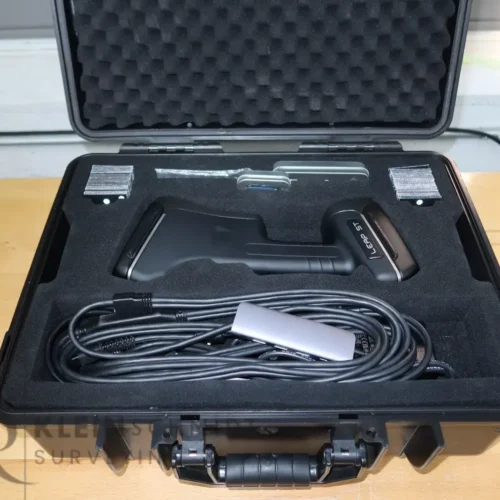
Description
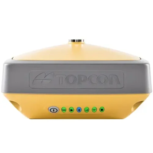
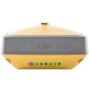
The Topcon HiPer VR GNSS RTK Receiver is compact, light and packed with the most advanced GNSS technology in a design built to withstand the harshest field environments. Using Topcon’s advanced GNSS chipset with Universal Tracking Channels Technology, the HiPer VR automatically tracks every satellite signal above now and into the future.
Better things come in smaller packages. The Topcon HiPer VR is smaller and lighter, but don’t let its small size fool you. It’s not only packed with the most advanced GNSS technology, it is also built to withstand the harshest field environments. Built with a rugged housing – not weak plastic – it can take the punishment of the job site. All signals, all satellites, all constellations — all in a compact, rugged design, with an integrated IMU and eCompass.
The Topcon HiPer VR is a complete solution and versatile in many ways. It can be used for static or kinematic GNSS post-processed surveys, as a network RTK rover with the FC-5000’s internal 4G/LTE cellular modem, as a UHF/FH/Longlink jobsite RTK rover, and also in Topcon’s patented Hybrid Positioning workflow.
Topcon HiPer VR Feature
- Universal Tracking Channels for all satellites, signals and constellations
- Field-tested, field-ready IP67 design
- Compact form factor ideal for Millimeter GPS and Hybrid Positioning™
- Revolutionary 9-axis IMU and ultra-compact 3-axis eCompass
Topcon HiPer VR features include
- Universal tracking technology for all satellites and constellations (GPS, GLONASS, Galileo, Beidou, IRNSS, QZSS, SBAS) covering all modernized signals
- Field tested, field ready IP67 design
- Compact form factor ideal for Millimeter GPS and Hybrid Positioning
- Revolutionary 9-axis IMU and ultra-compact 3-axis eCompass
- Integrated 400 MHz UHF Tx/Rx Radio Modem
- Integrated License free 900 MHz Radio Modem, FH915 protocol
TILT™ – Topcon Integrated Leveling Technology
The HiPer VR incorporates a revolutionary 9-axis inertial measurement unit (IMU) and an ultra-compact 3-axis eCompass. This advanced technology compensates for mis-leveled field measurements out of plumb by as much as 15 degrees.
Awkward shots on steep slopes or hard to reach spots are now a breeze with TILT.
Integrated radio and modem options
- 400 MHz UHF TX/RX Radio
- License-free 900 MHz radio, FH915 protocol1
L Band Ready with SkyBridge Technology
L Band ready to receive advanced GNSS corrections data set globally
Highly configurable
Designed to grow with you, unique electronic option files empower you to activate available features instantly.
Future proof
- The Topcon full wave antenna tracks all GNSS signals currently available and is designed to track the constellations and signals of tomorrow
Topcon Inertial Leveling Technology
By combining a 9-axis inertial measurement unit (IMU), along with a digital compass, the HR can accurately compensate for up to 15º of tilt on the rod. Now you can measure all the way to a building edge without using an offset. Or stretch to get an otherwise out-of-reach point. Just as with many other Topcon technologies, T.I.L.T. is designed to solve real-world challenges, so your work gets easier, faster, and better.